 6
6
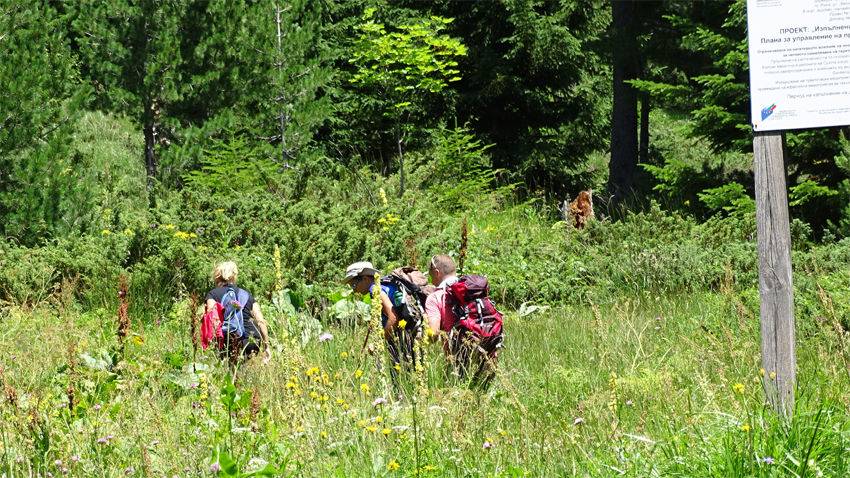
In the past, hundreds of pilgrims crossed on foot the magnificent Rila Mountain along a trail in a bid to reach Rila Monastery and pay homage to the remains of St. John (Ivan) of Rila the Wonder Worker, founder of the monastery in 10 c. Today the trail is still there as a tourist route that passes by the disappearing and reappearing Dry Lake.
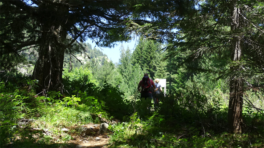
From Rila Monastery to Kirilova Polyana the trail runs parallel to the road which goes across the grave and the grotto where Ivan of Rila, Bulgaria’s Heavenly Guardian, lived as a hermit. It then reaches Kirilova Polyana.
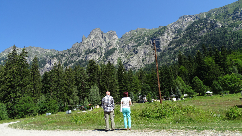
A breathtaking view opens up from Kirilova Polyana to Eleni Peak, Orlovets, Dvuglav, Iglata and Zlia Zab. From the latter an awe-inspiring and almost vertical chute descends called The Evil Streams, and Iglata (The Needle) is one of the most inaccessible peaks in Rila. Kirilova Polyana is a starting point for the chalets Ribni Lakes, Granchar and Musala Peak.
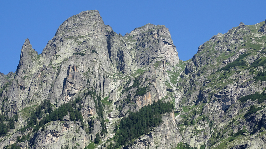
The next route is to the Dry Lake and Kobilino Branishte leading to Malyovitsa Chalet and the Rila section with the same name. This used to be the route of both pilgrims and horse-drawn caravans.
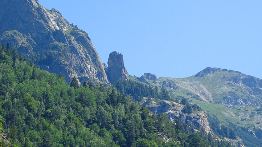
After Kirilova Polyana the trail goes across a beech forest right to Zlia Zab, ascending smoothly. This is followed by the serpentines called karkulitsi. In one of them behind the Macedonian pine forest emerges the majestic Evil Tooth Mount whose vertical wall is known as "the frowning eyebrows." And in the distance, at the bottom of the valley Rila Monastery is seen.

Among a few age-old pines devastated by storms the trail cuts across stone rivers. One of the ricks displays an inscription that reads, „Welcome, monastery guests”, as well as a carved in cross.

The pilgrim train started from the valley of Beli Iskar and served to connect that northern section of Rila with Rila Monastery. All pilgrims used it until the Rila Raliway and the bus lines started to operate.
Soon the trail goes up and suddenly, as if in a mirage a lake appears. The meadow around it is dotted with lovely flowers. To the left of the lake descends a steep grassy and rocky slope, and Kobilino Branishte saddle appears at the bottom.
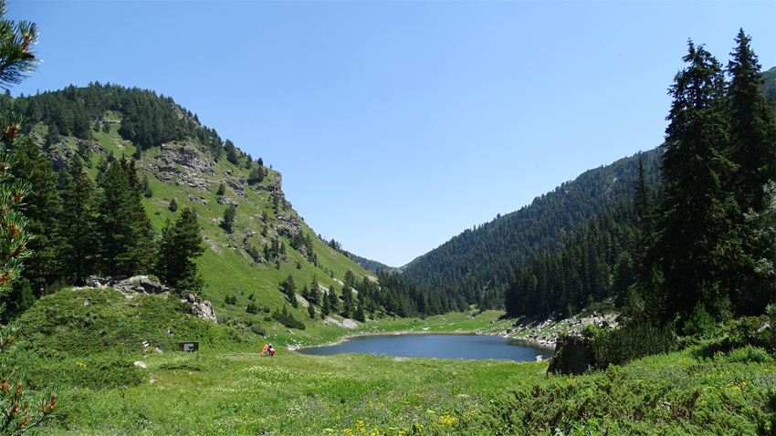
The dry lake is located at 1928 m above sea level, occupying an area of nearly 2 hectares, located in a glacier valley. It is a lazy lake, and is filled with melting snow from the steep slopes of the valley and the water stream from Kobilino Branishte and Popovokapski lakes. Sometimes during the summer the lake disappears, from where comes its name, the Dry Lake.
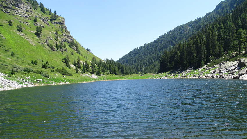
The distance from Kirilova Polyana to Dry Lake is about 2-hour walk. After a break at the fabulous lake most tourists go back but some continue further to Kobilino Branishte and Maloyvitsa.

Texts and photos by BGNES
English Daniela Konstantinova
The Yantra River rises in the Balkan Mountains at 1,220 metres above sea level and descends northwards, meandering through picturesque valleys and gorges in central northern Bulgaria, crossing the towns of Gabrovo and Veliko Tarnovo. Shortly before it..
The village of Momchilovtsi, the Rhodopes, Pamporovo and the Smolyan region were present with a pavilion at a tourism exhibition this autumn in Ningbo, China. Speaking to BTA, Momchil Karaivanov, a representative of the Bulgarian-Chinese Society..
Cultural tourism accounts for nearly 20 % of the country’s tourism product, according to data from a survey by the Ministry of Tourism. While Bulgaria's image was previously associated mainly with maritime tourism, which made up 70% of the tourism..

+359 2 9336 661
